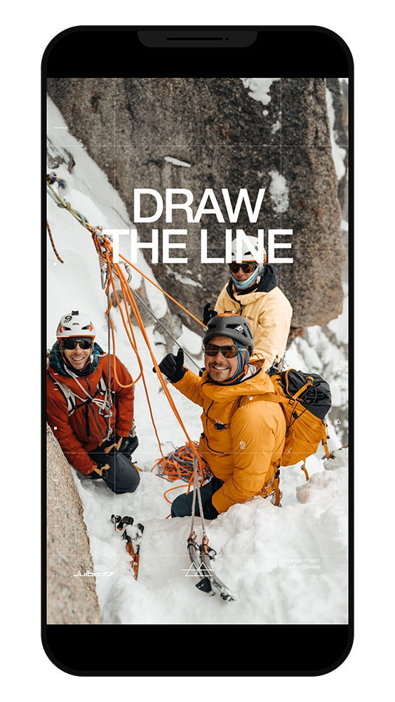
DRAW
THE LINE
JULBO
![]()
“We would like to create a unique project in an alpine setting, involve our athletes and add an international dimension to it all”, were the key takeaways from our first workshop with the JULBO brand in October 2020. A few weeks later, we came up with the “Draw the Line” project, a resolutely Digital X Terrain concept involving their athletes and their digital community.
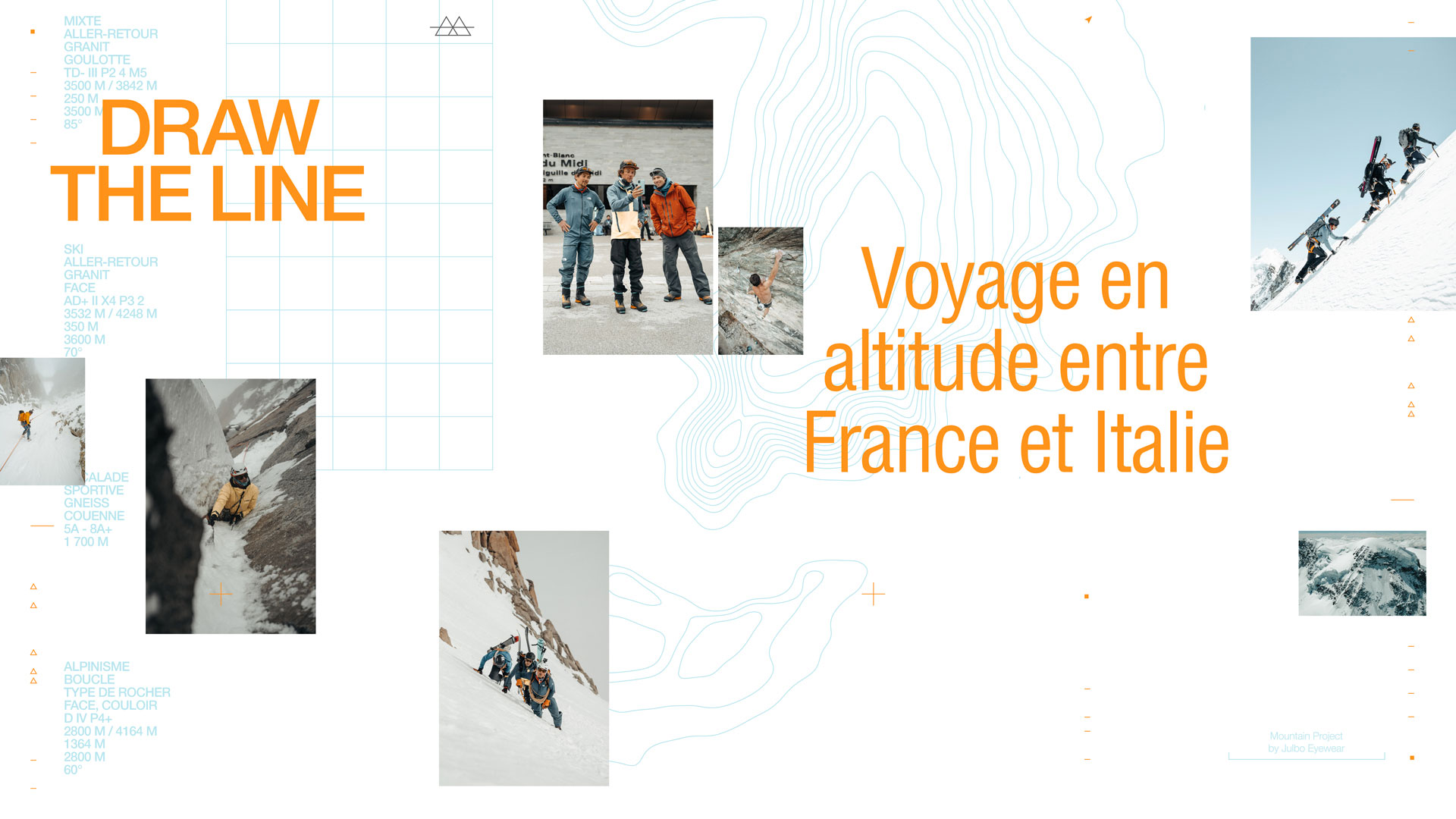
The (far too succinct) summary of “Draw the Line” was taking the athletes on a live high-mountain experience alongside Julbo’s Instagram community.

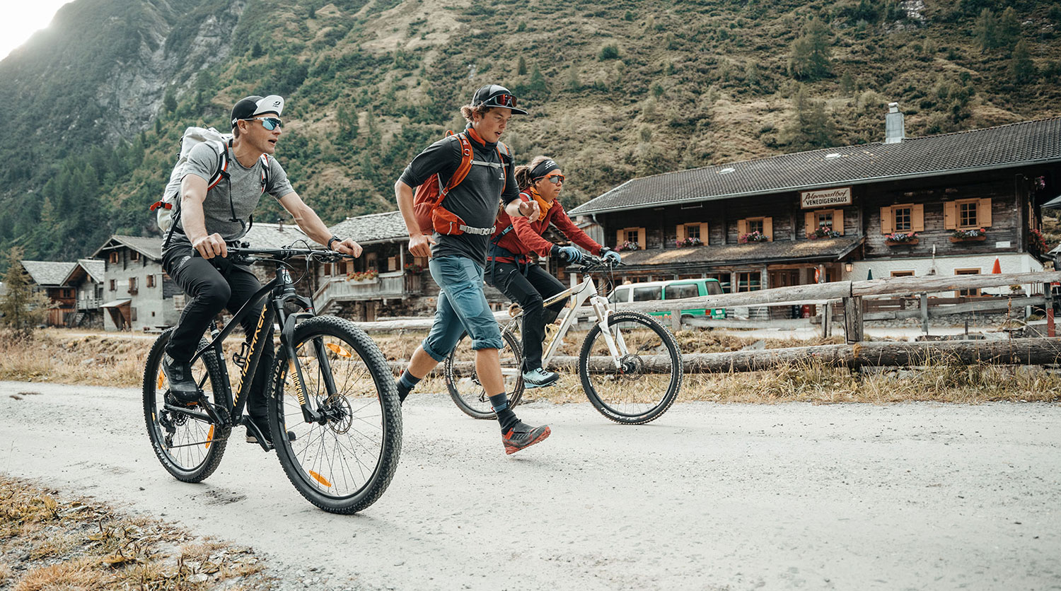
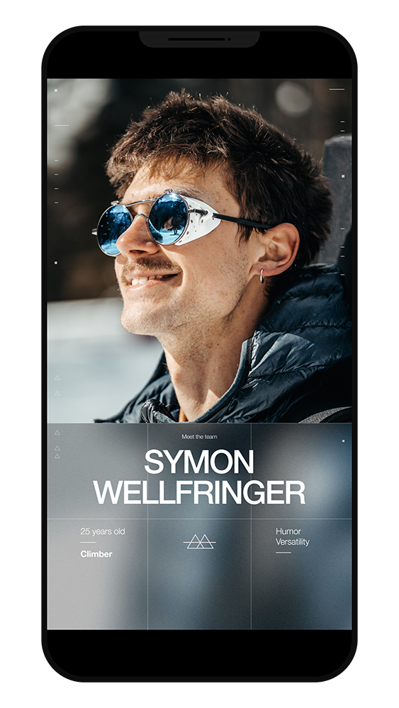
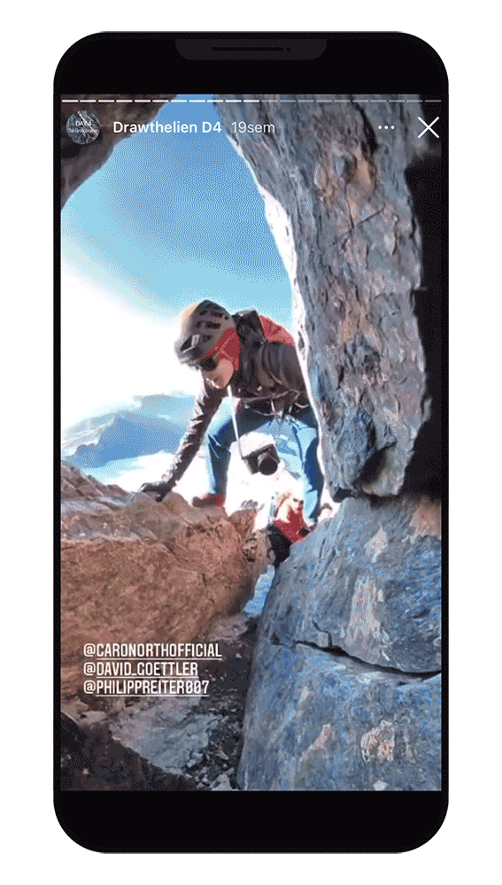
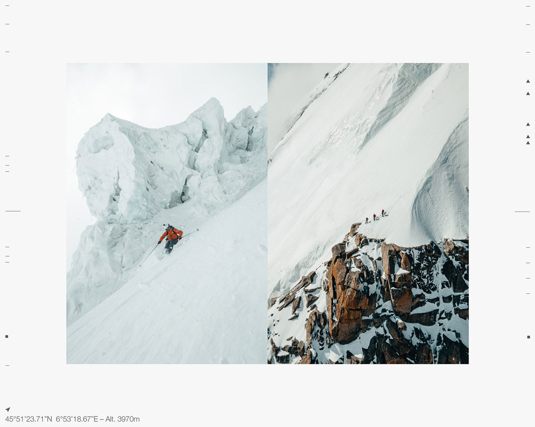
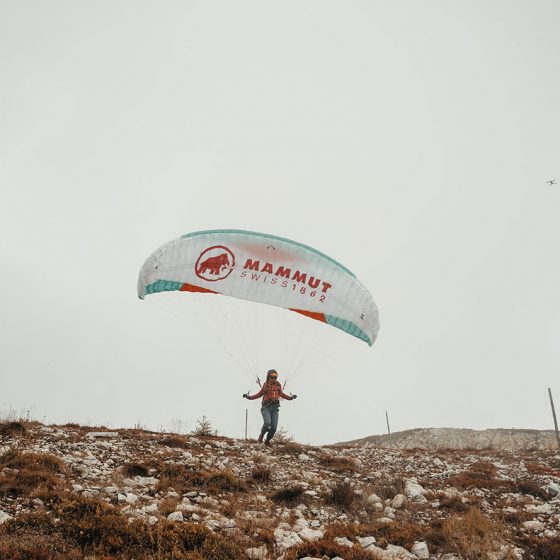
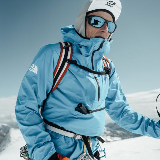
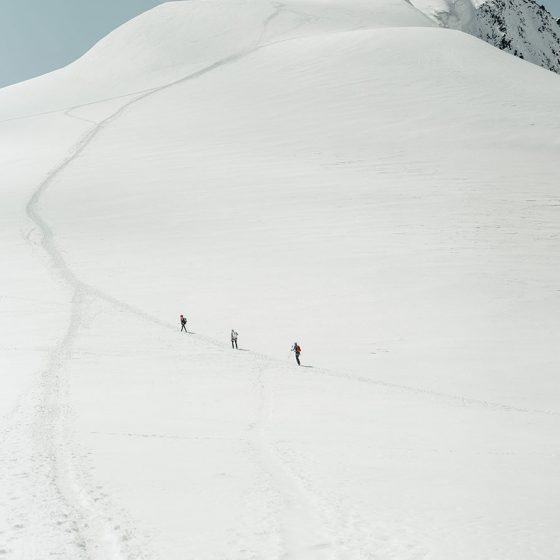
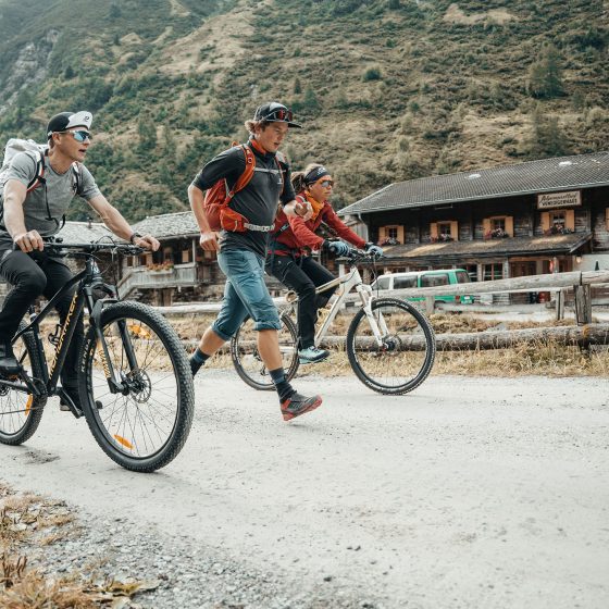
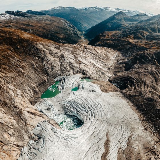
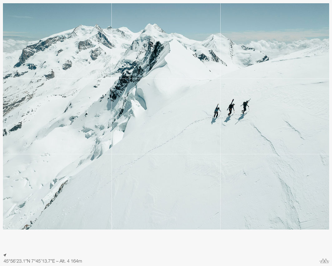
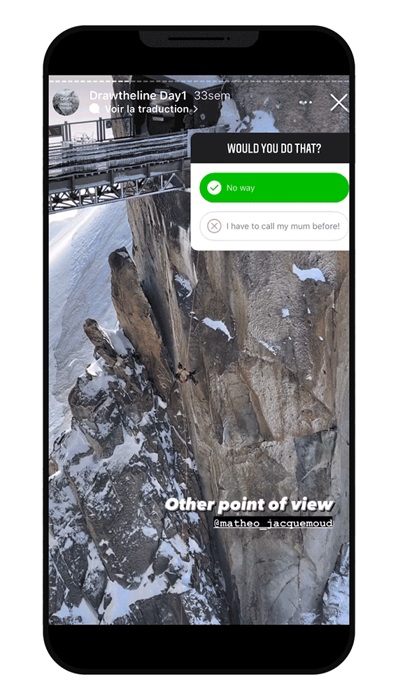
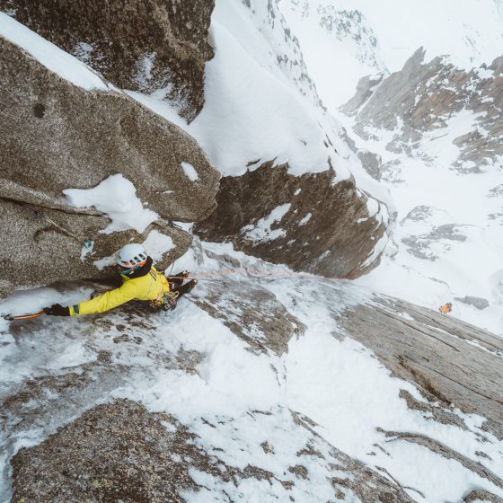
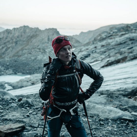
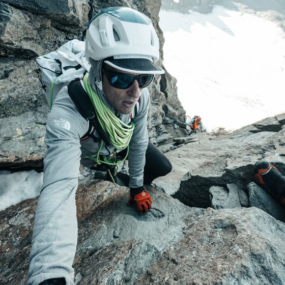
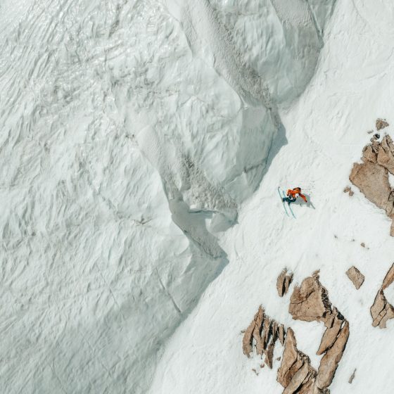
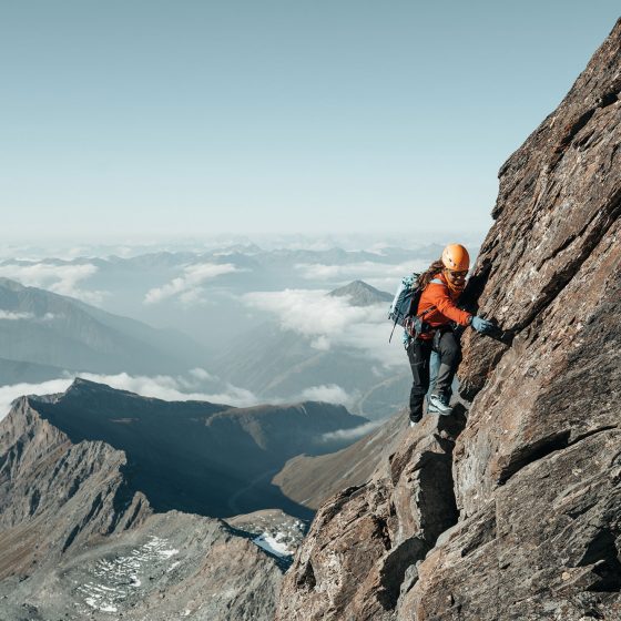
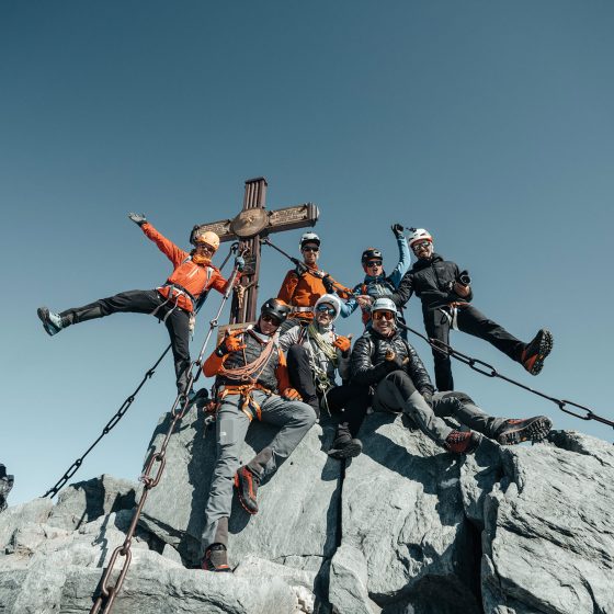
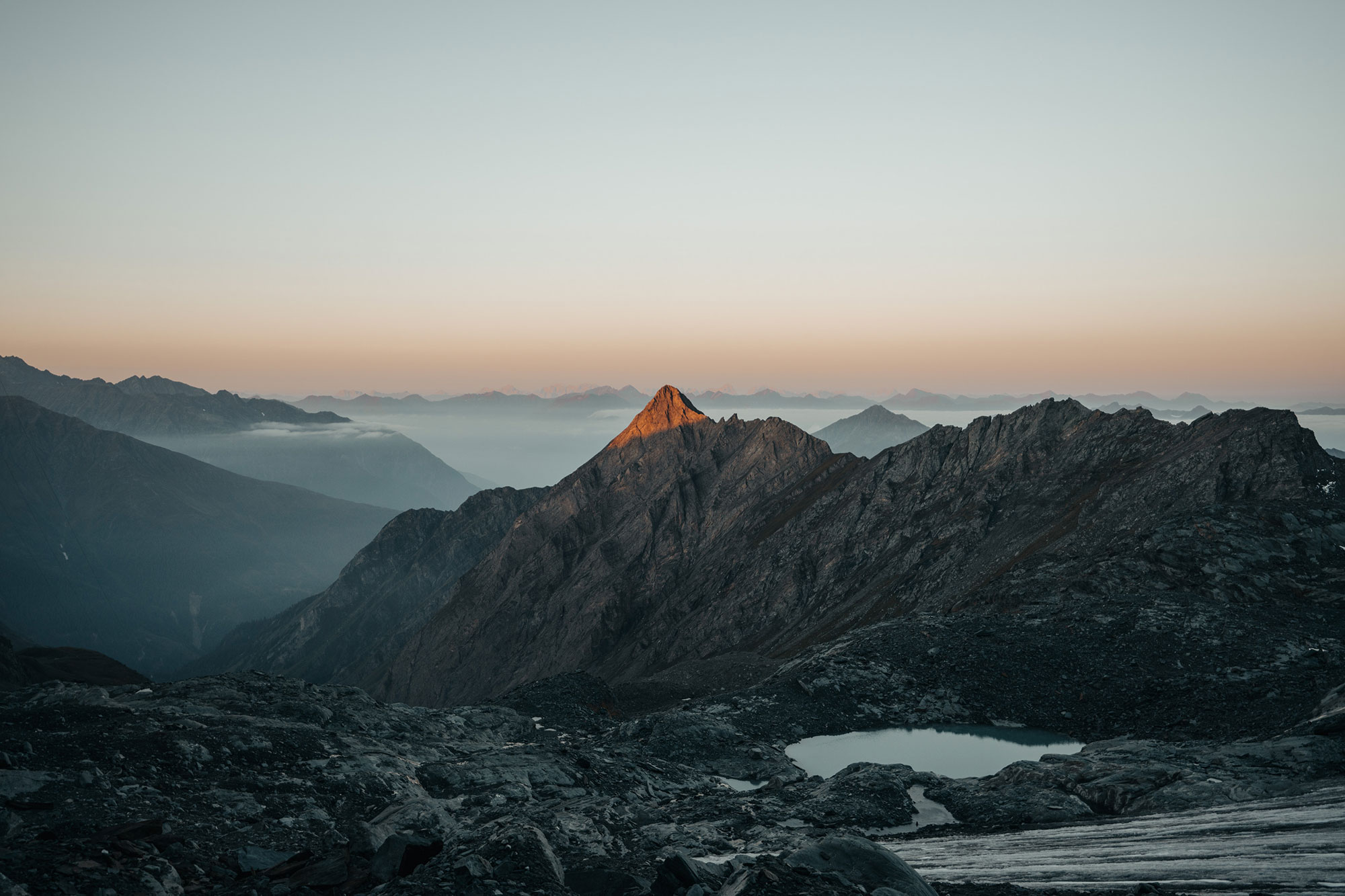
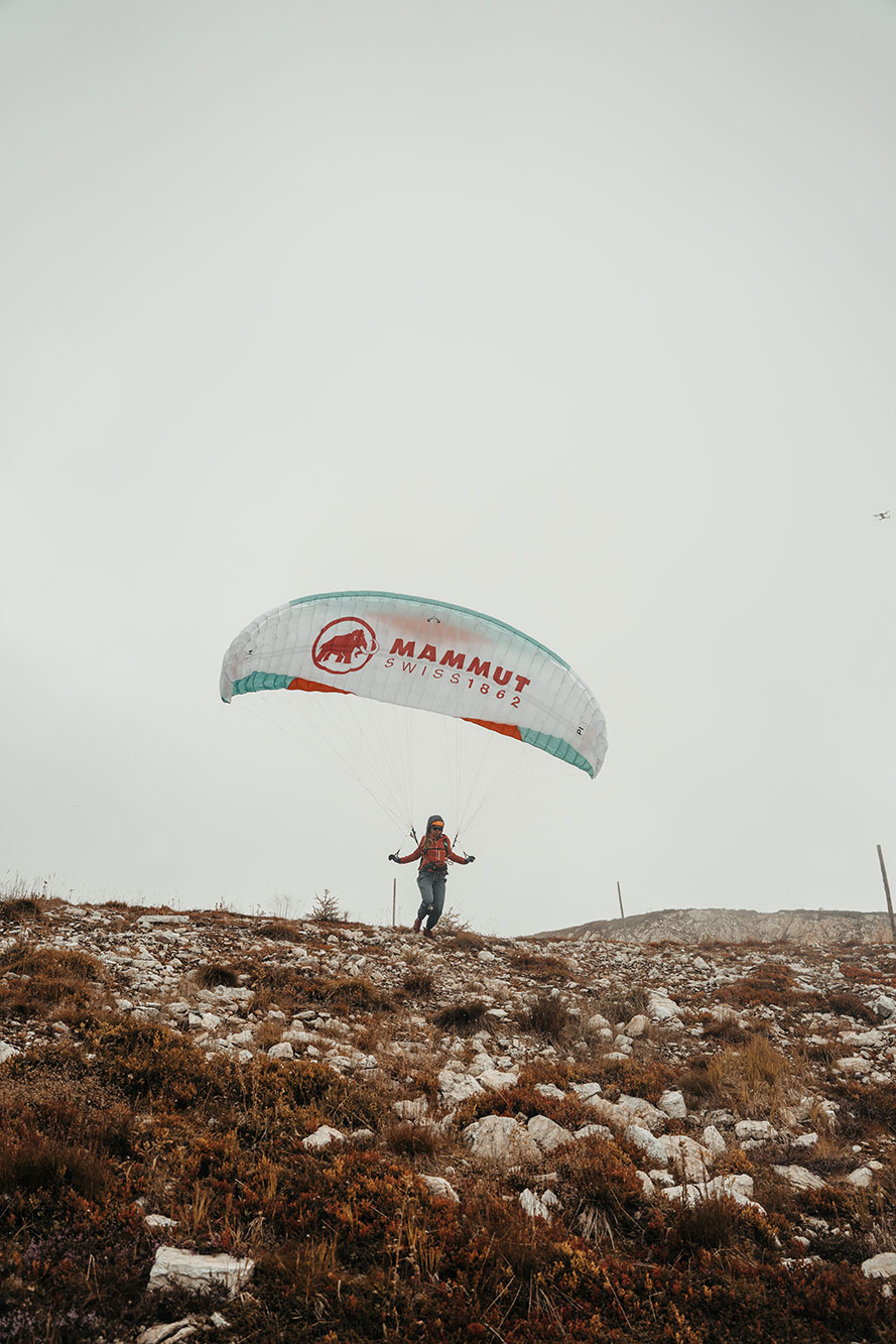
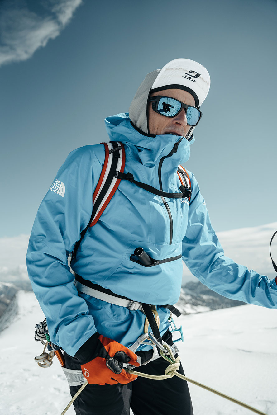
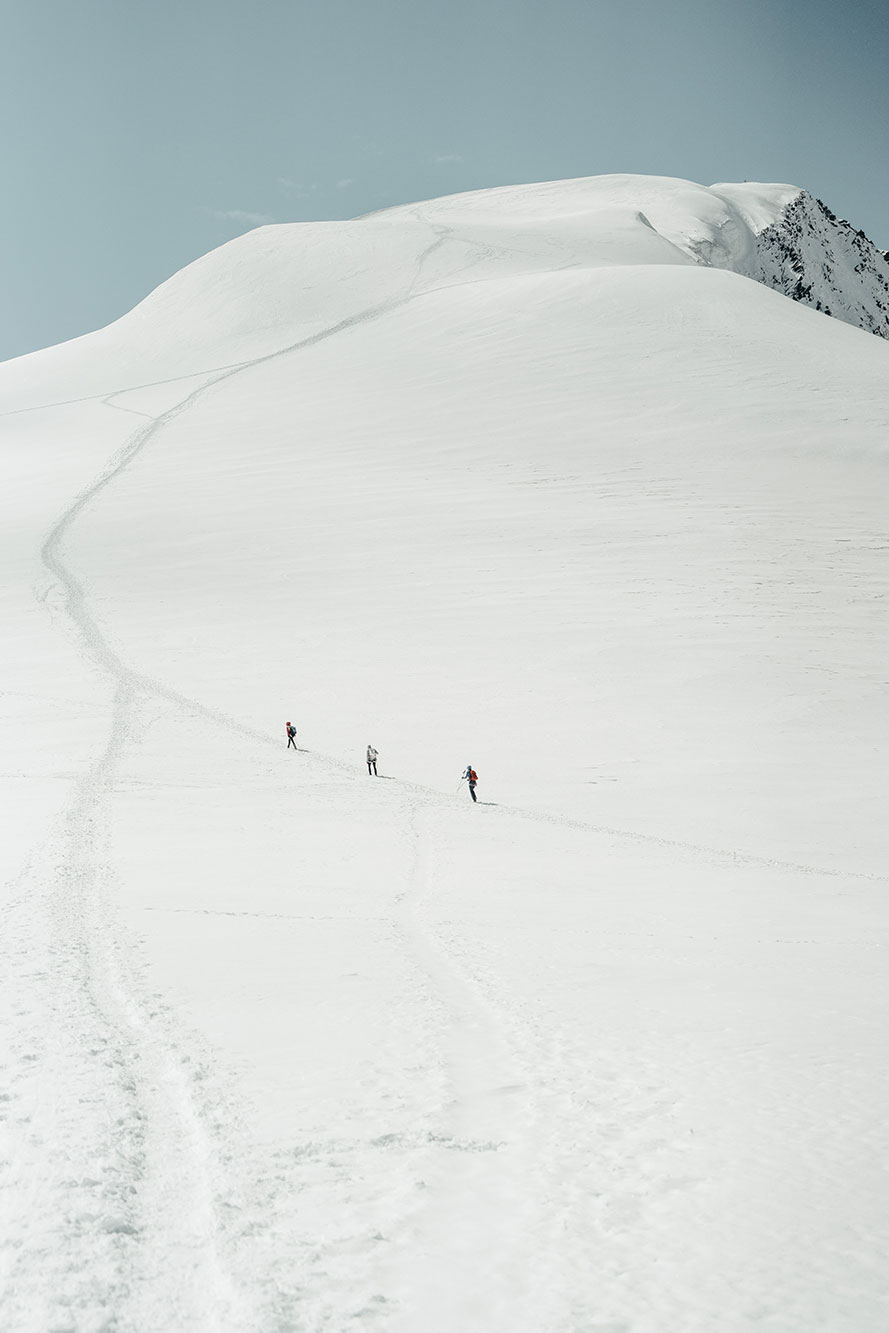
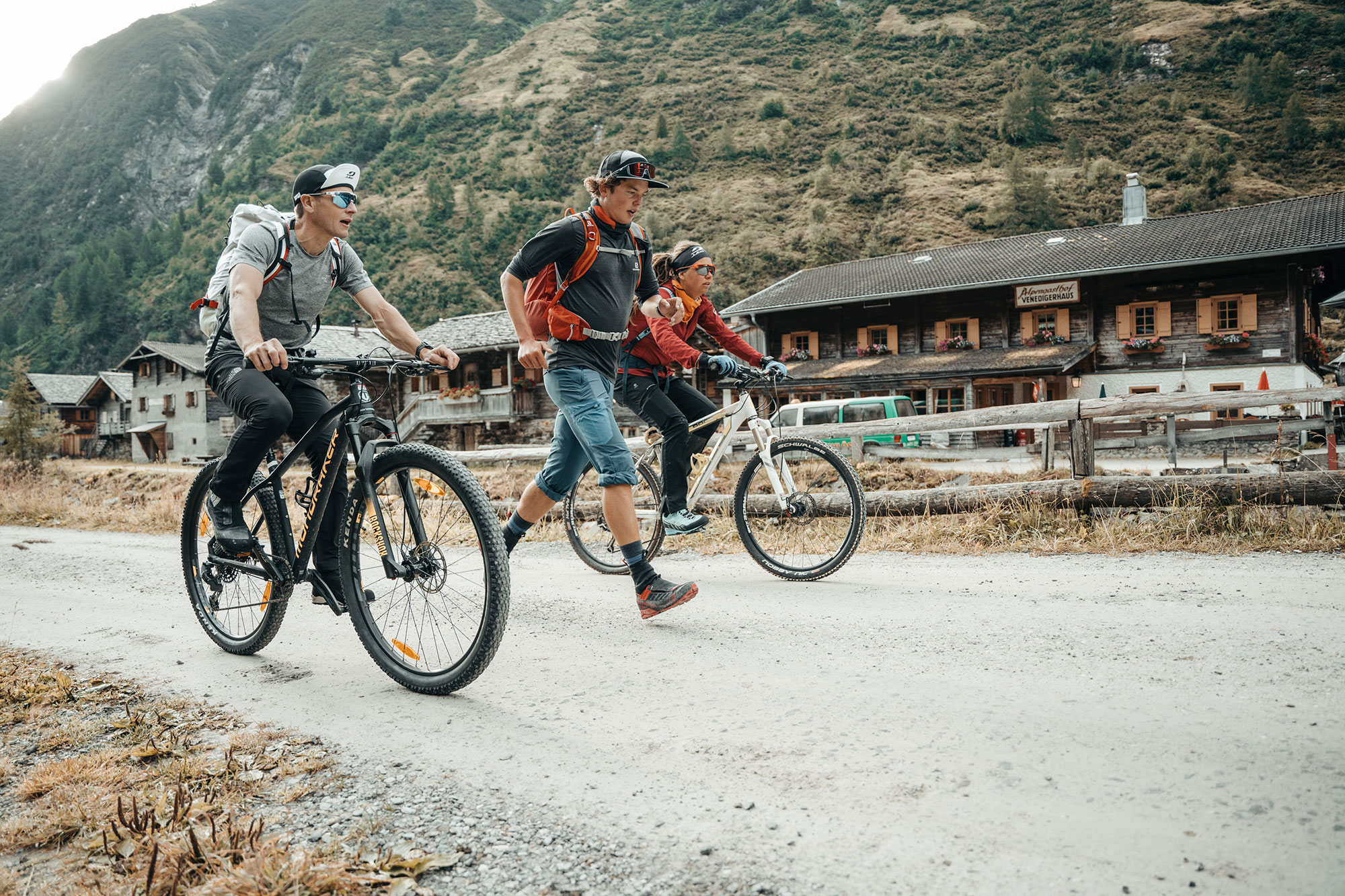
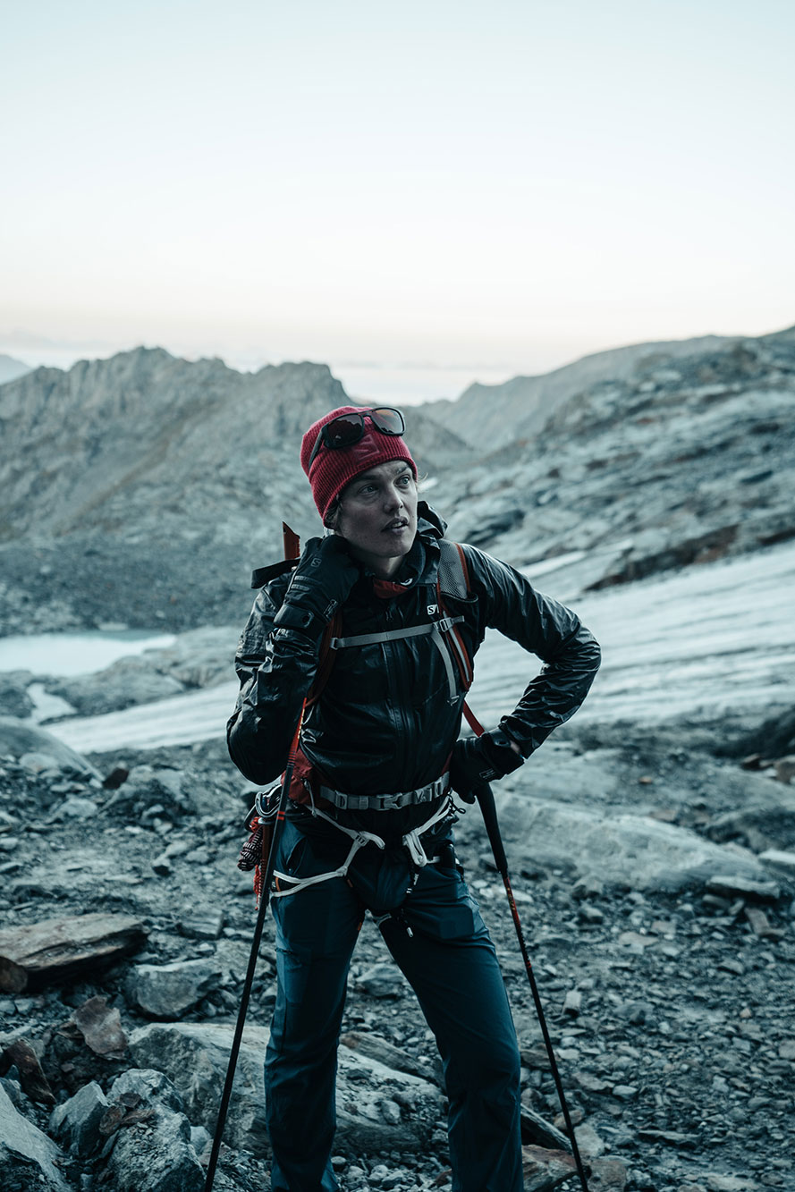
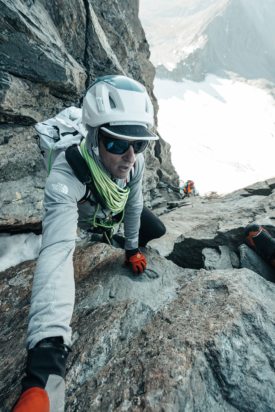
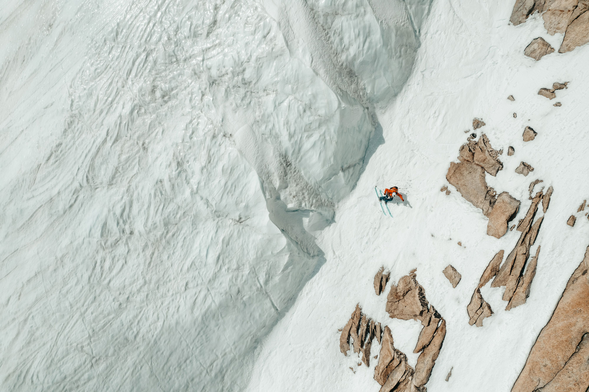
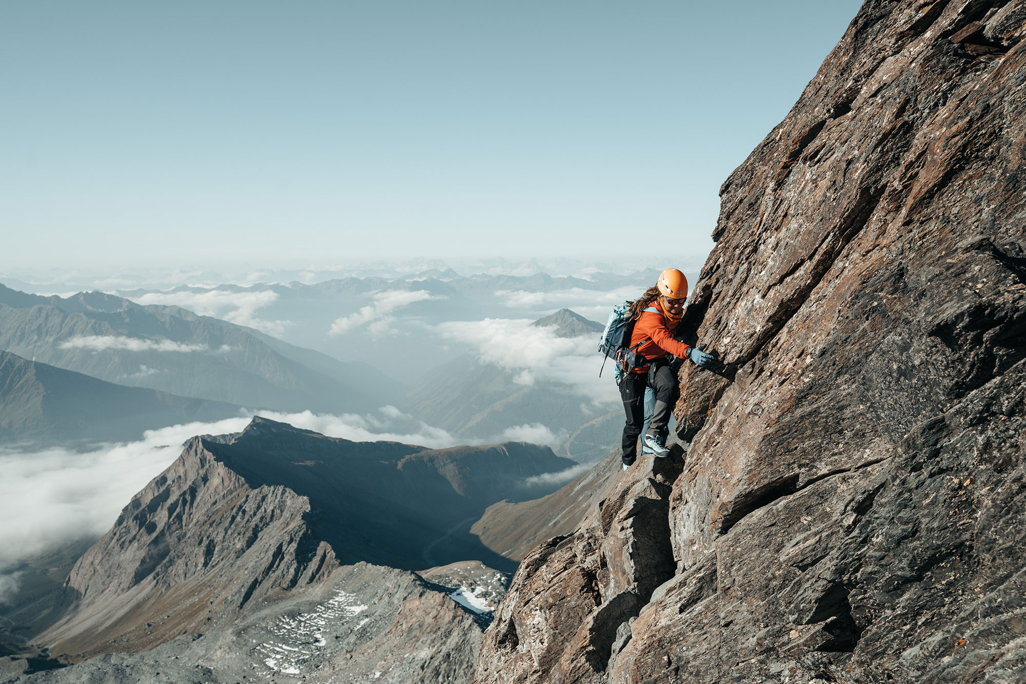
For several days, at an altitude where oxygen starts getting scarce, Julbo athletes were asked to put various polls and call-to-actions to the Julbo Instagram community to involve their fans in their alpine journey. The program included mountaineering, steep slope skiing, paragliding, climbing or a combination… Not for the faint-hearted!
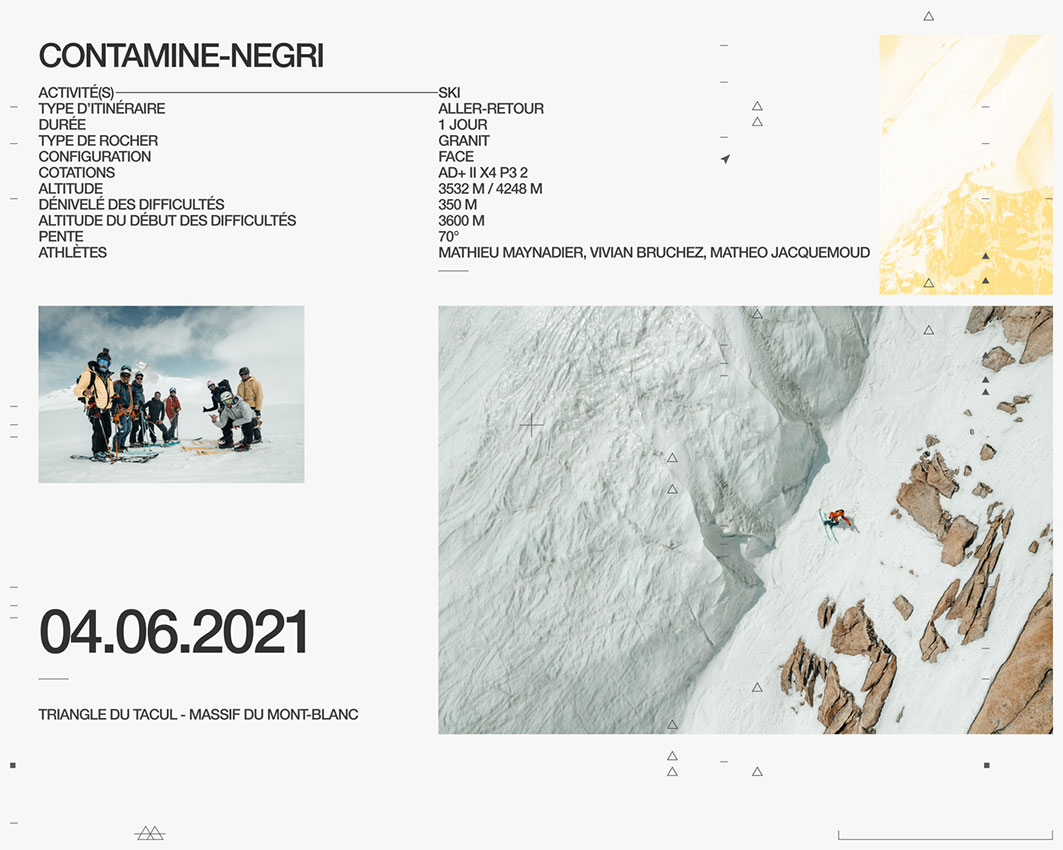
For this project to have a real impact, we suggested that the brand begin the campaign several months before, starting with a teasing phase before moving on to two episodes of the concept, one between France and Italy (June) and another in Austria (September).
To ensure that all this could be communicated across multiple channels, we provided the brand with the following support: creation of a graphic charter, development of a range of visuals for the website, newsletters and social networks, copywriting, project management, event management, live social media management, content production, etc.
Results
700k global reach on Facebook
5 million reach on Instagram
7 Outdoor Perspectives team members engaged
2 hours’ sleep without prior acclimatisation for our first night at 3700m
To this day, Draw the Line is the project that has simultaneously called upon the greatest number of areas of expertise that our agency can offer. As a result, it’s a project we’re particularly proud of ; it was an unfamiliar approach for Julbo yet the community responded and the impact extended far beyond the brand’s communication channels. But we are also proud of this one because of the logistical complexities it posed. Planning a high-altitude route with a GSM/4G network, appropriate weather and involving so many different people was a real challenge with lots of moving parts, yet one we revelled in!